Okay Everyone, http://tacticalspace.org/stpeters/ has got its first set of content, but this is the last week of submissions and I need all the support, feedback, and suggestions we can muster!
SOURCE INFO: Michael has dug up information from all over the web (Greens website, westconnex action group, etc), and we’ve collected it together in a shared Google folder. The NSW planning website has all of the documents submitted for the application (large .PDF documents), which cover different aspects of the project.
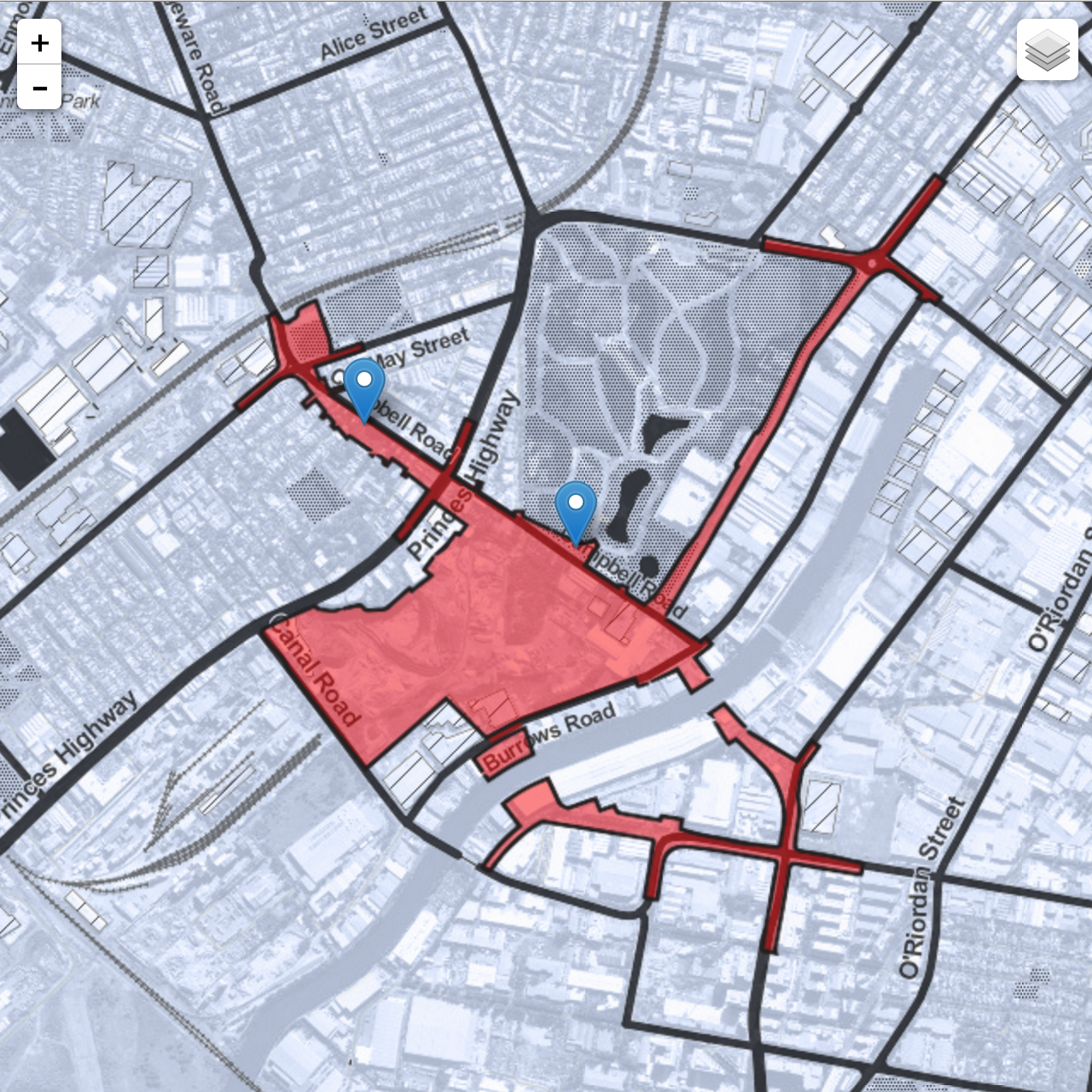
WHAT should the map do? Interactive navigation through the stages of development? Lots of pop-up information?What info is essential to put in? So far I’ve added information on the effects of vehicle pollution, and also the initial construction footprint, with breakouts to more information.
MARKING OUT FEATURES: If you want a particular map, please help me by tracing it in illustrator or as an overlay! I need people to print out sections of the map and pencil in building site areas and smoke stacks and stuff on tracing paper, so I can overlay it. The source maps from the westconnex application process need work before being overlaid.
SHARING the map or this call-out to interested friends will also be amazing.
>> Suggest features for the map (google form) <<