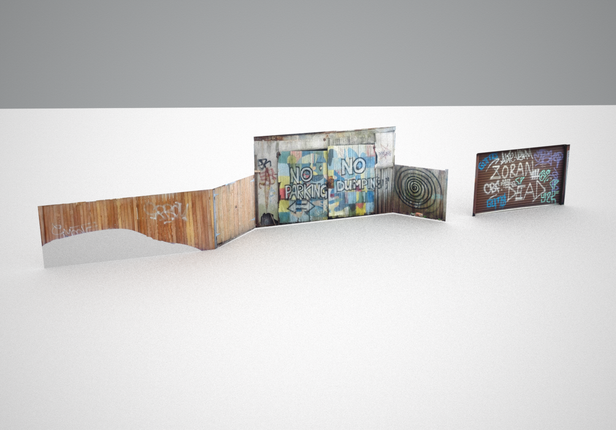
The Graffiti Atlas project is an experiment into graffiti conservation/archives that tracks changes in a locations graffiti over time. This project has been superseded by the “Guided Tours in Virtual Environments” approach, though this newer approach is yet to include showing a progression over time.
[unity src=”1574″]
Controls (In Map view)
Drag: move. Click: zoom into wall. Alt+Drag: rotate. Mouse Wheel: Zoom.
Controls (In Zoom View)
Drag: move. Mouse Wheel: Zoom. Click (quickly): shows any detail images. Click outside wall: back to map view.
The mobile version of the interface allows rotating, moving, and scaling with a nice 2-finger point-drag.
What do you like?
What don’t you like?
What is confusing?
What makes sense?
Let me know in the comments!